

POINT CLOUD DATA
Architectural Surveys
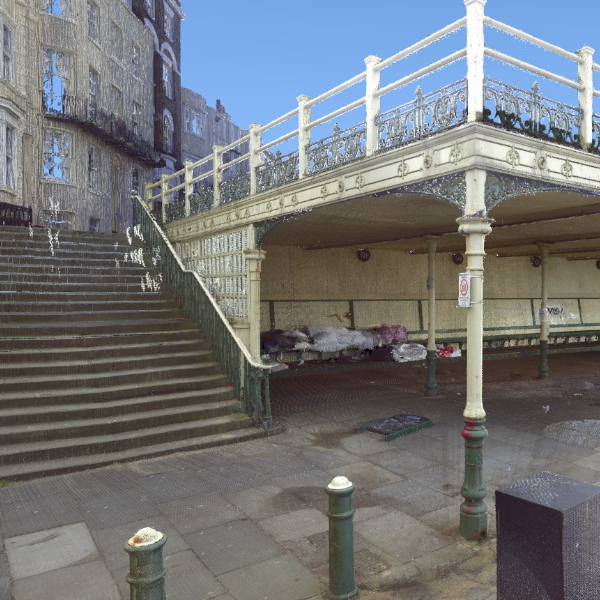
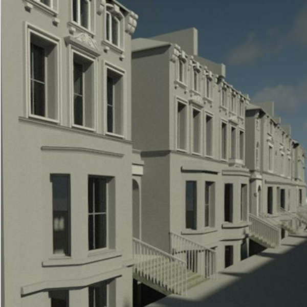
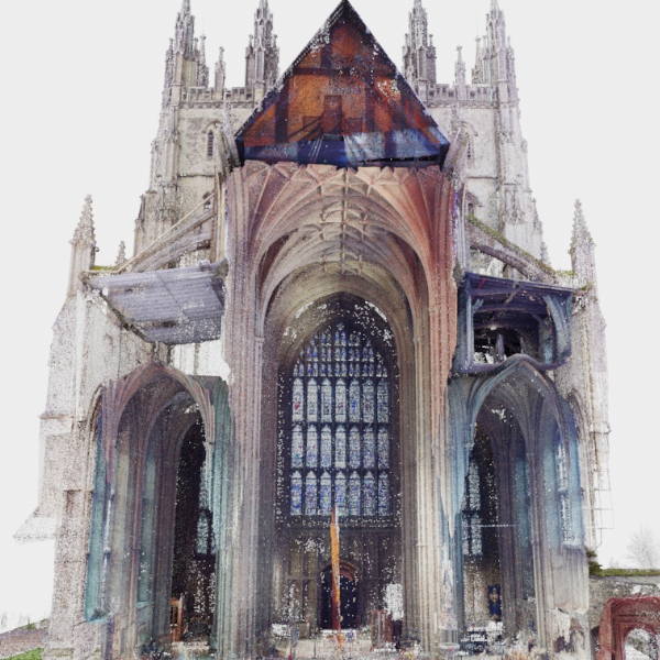
I have been working with BDesign7 Ltd, to achieve quick and efficient surveys on residential Architectural projects. By incorporating Point Cloud data, through affordable LIDAR scanning technology to achieve a complete BIM model. LIDAR surveys provide an accurate survey of buildings, their context and the site topography. I used the data to model components and families in Autodesk Revit Architecture, ready for proposal schemes to be implemented by the Senior Architect at BDesign7. You can review project details and progress at www.bdesign7.com
Client
BDesign7 Ltd
Role
Architectural Assitant
Date
May 2022
Application
LIDAR scans, Revit


