

POINT CLOUD DATA
Urban Model
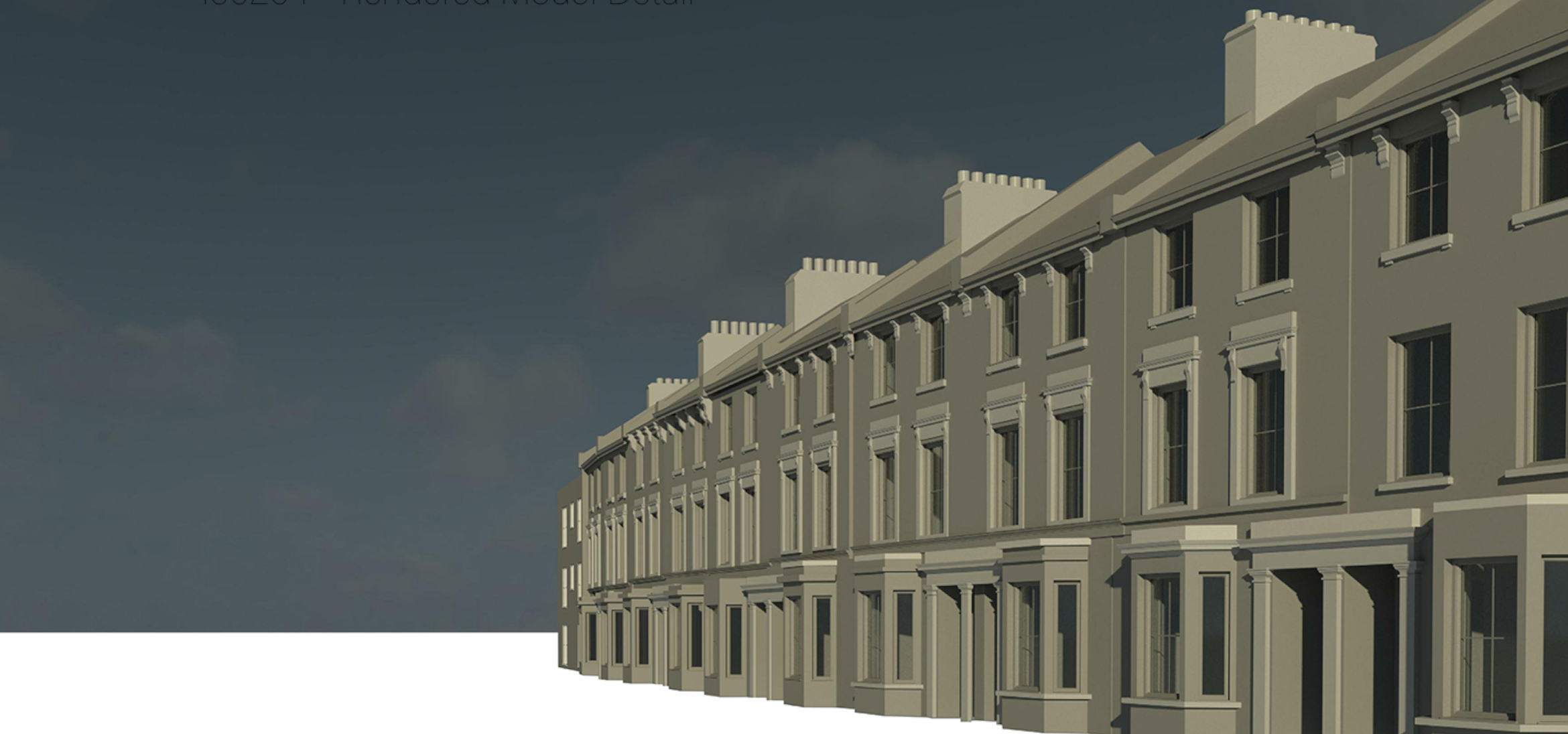
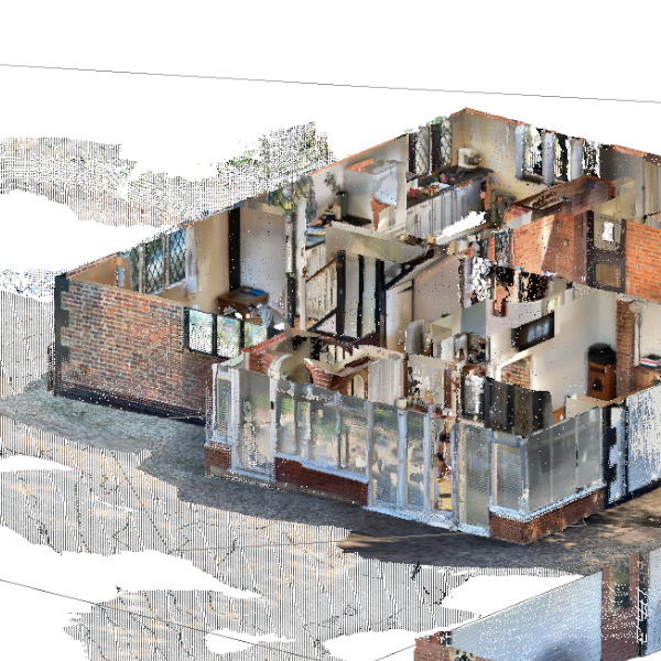
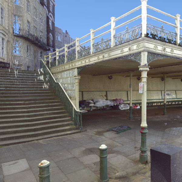
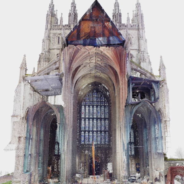
Proposal for a novel experimental study for the computation of urban albedo in high latitude locations using London as a representative urban environment in England and employing laboratory /field measurements and computational methods to construct an urban albedo calculation tool. This work is primarily motivated by a research need to provide accurate albedo estimates for urban configurations; such calculations are lacking in most Urban Heat Island (UHI) models used to mitigate its effects. The proposed project combines research groups from three universities, University of Kent (Kent),Brunel University London (Brunel) and Loughborough University (Loughborough) with substantial complementary experience and internationally leading research track records. My work on this project focused on capturing the selected site in London (for analyses) and re-creating a digital 3D digital model, to enable the analysis and scale physical model to be build, as accurately as possible.For the purpose of this project, I decided to use the Point cloud registration software Autodesk Recap Pro to capture and clean the data, after which, I used to Autodesk Revit Architecture to build the digital model from Point Cloud data.
Client
Research Center (CASE)
Role
Technical Specialist at UKC
Date
Mar 2018
Application
FaroFocus3D, Recap pro


